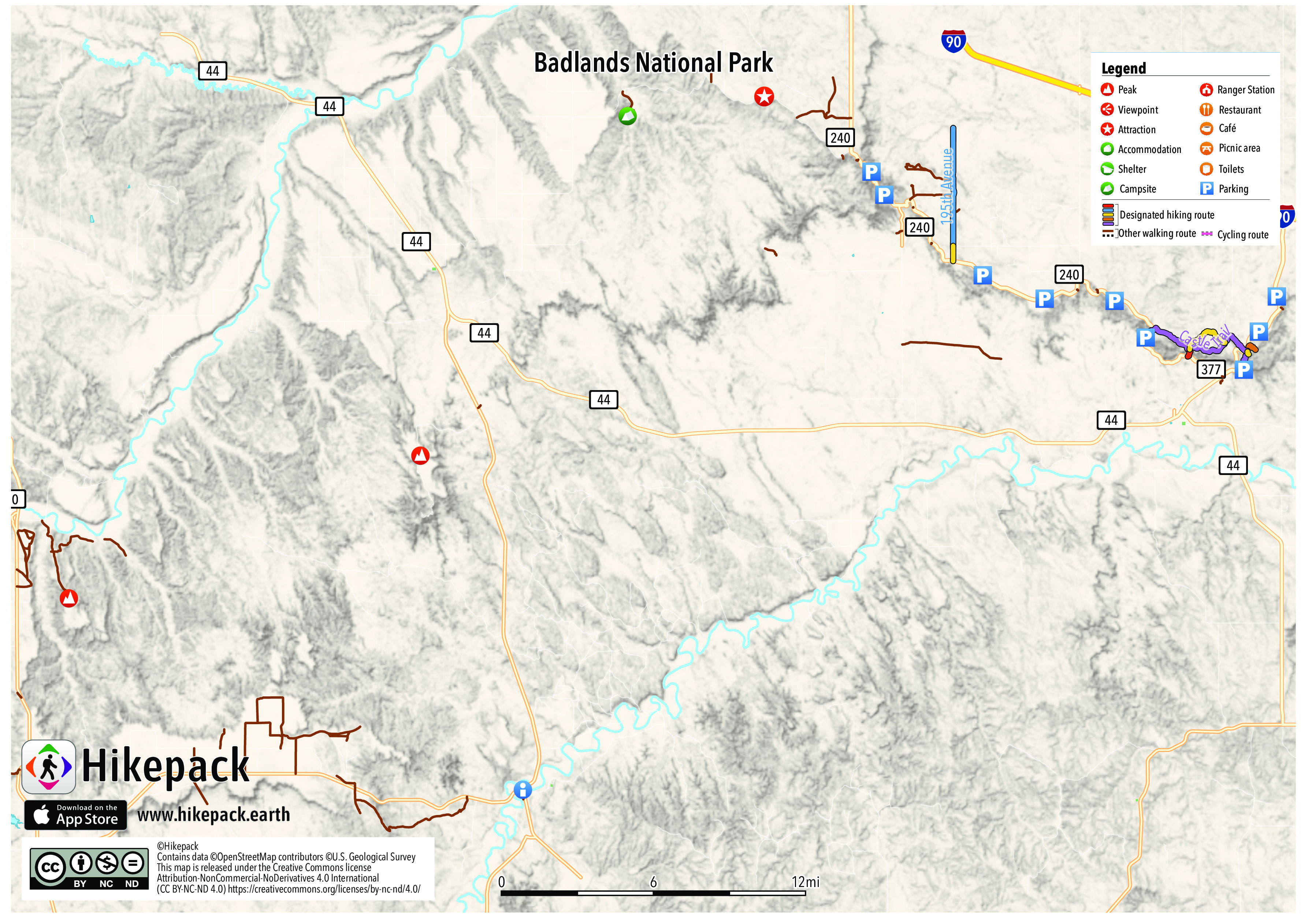
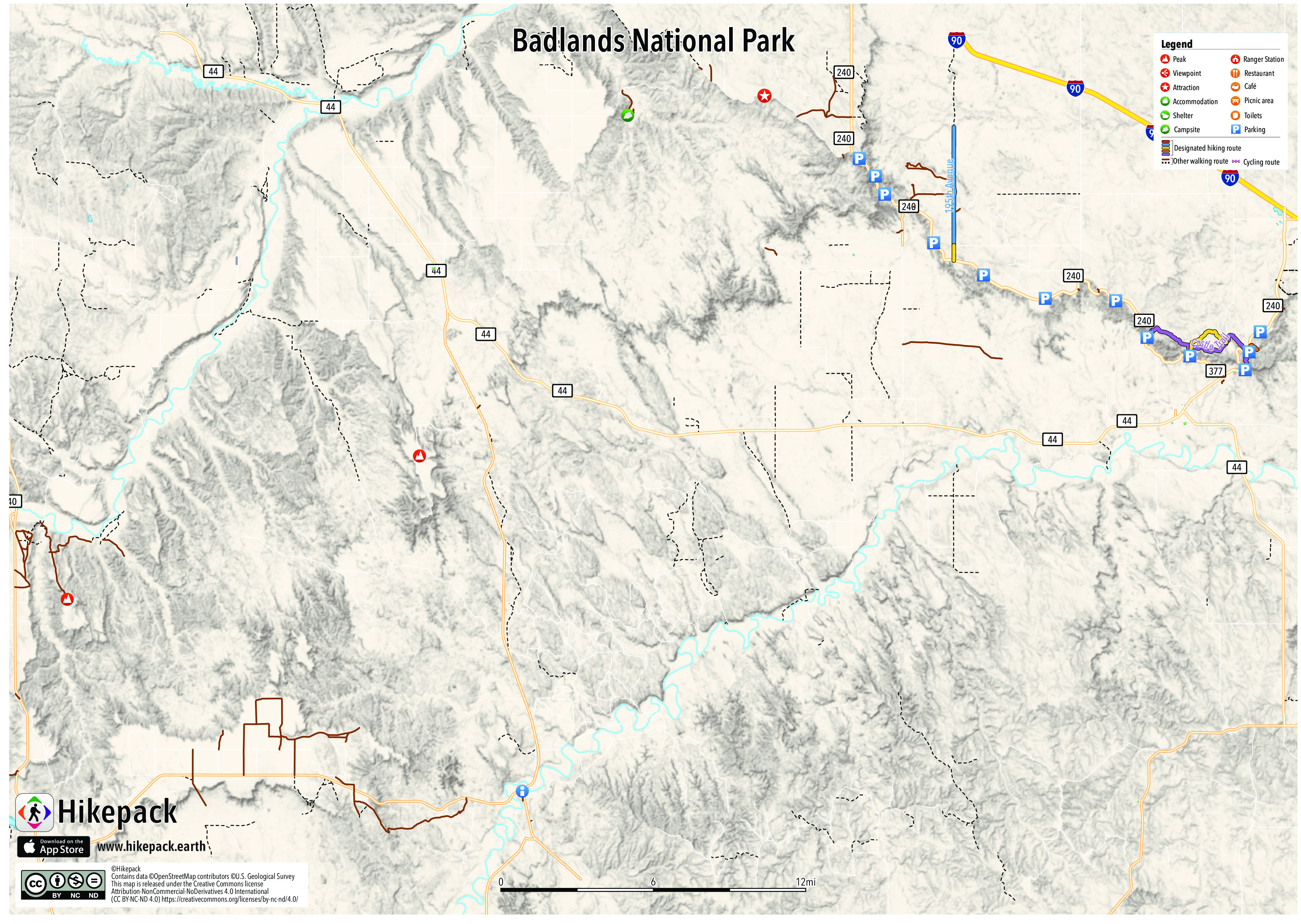
Badlands National Park
109 Trails
76 POIs
9 Peaks
2 Campsites
18 Viewpoints


Description
The Badlands are a collection of buttes, pinnacles, spires, and mixed-grass prairies. The White River Badlands contain the largest assemblage of known late Eocene and Oligocene mammal fossils. The wildlife includes bison, bighorn sheep, black-footed ferrets, and prairie dogs.
Trails in the Hikepack map
- 186th Avenue
- 195th Avenue
- Badlands Loop Road
- Ben Reifel Road
- Big Foot Road
- Big Foot Trail
- Bombing Range Road
- Bureau of Indian Affairs Highway 2
- Bureau of Indian Affairs Highway 27
- Bureau of Indian Affairs Highway 41
- Castle Trail
- Cliff Shelf Nature Trail
- Conata Basin Road
- Cs 36B
- Cuny Table Road
- Door Trail
- East Highway 44
- Fossil Exhibit Trail
- Highway 240
- Horton Road
- Medicine Root Trail
- Notch Trail
- Old Northeast Road
- Quinn Road
- Red Shirt Table Road
- Rim Road
- Saddle Pass Trail
- Saddle Pass Trailhead
- Sage Creek Road
- Sagecreek Rim Road
- Sheep Mountain Road
- Southwest Wall Road
- State Highway 240
- State Highway 377
- Window Trail
Attractions in the Hikepack map
- Ancient Hunters Overlook
- Badlands Wilderness Overlook
- Big Badlands Overlook
- Bigfoot Pass Overlook
- Blindman Table
- Burns Basin Overlook
- Castle Trail
- Cedar Butte
- Cedar Pass Campground
- Cedar Pass Lodge
- Conata Basin Overlook
- Fossil Exhibit Trail info
- Fossil Exhibit Trail parking
- Galigo Table
- Hay Butte Overlook
- Heck Table
- Homestead Overlook
- Panorama Point
- Pinnacles Overlook
- Plenty Star Table
- Prairie Wind Overlook
- Roberts Prairie Dog Town
- Saddle Pass Trailhead
- Sage Creek Campground
- Sheep Mountain Table
- The Castle
- White Butte
- White River Valley Overlook
- White River Visitor Center
- Yellow Mounds Overlook
Copyright
The PDF and JPG maps are released by Hikepack under the Creative Commons license Attribution-NonCommercial-NoDerivatives 4.0 International (CC BY-NC-ND 4.0)
https://creativecommons.org/licenses/by-nc-nd/4.0/.
Contains data ©OpenStreetMap contributors (https://www.openstreetmap.org/copyright) under the Open Database License (https://opendatacommons.org/licenses/odbl/). Topographic map based on elevation data from the U.S. Geological Survey. Aerial imagery available from the U.S. Geological Survey. Description text is available under the Creative Commons Attribution-ShareAlike 3.0 Unported License from Wikipedia (https://en.wikipedia.org/wiki/Wikipedia:Text_of_Creative_Commons_Attribution-ShareAlike_3.0_Unported_License). Cover image ©dconvertini https://www.flickr.com/photos/con4tini/40811552411/ CC BY-SA 2.0 (https://creativecommons.org/licenses/by-sa/2.0/).